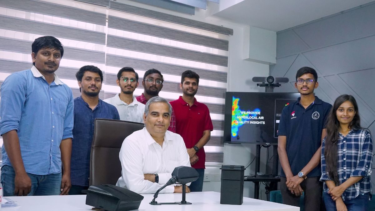
The team was led by Pro. Raghunathan Rengaswamy, Dean (Global Engagement), Department of Chemical Engineering, IIT Madras
With these mobile monitoring devices, it would be feasible to map a whole city with excellent resolution for a fraction of the cost of a single reference monitoring station
Researchers from the Indian Institute of Technology Madras (IIT-M) have come up with a low-cost IoT-based mobile air pollution monitoring framework that uses sensors positioned on transportation systems to collect spatio-temporal data on air quality and constantly track the air quality of broad geographic regions with high degree of temporal and spatial accuracy. In other words, with these inexpensive mobile monitoring devices, it would be feasible to map a whole city with excellent resolution for a fraction of the cost of a single reference monitoring station.
In the past, monitoring stations were keeping track of ambient air quality and put out the results as the “Air Quality Index” (AQI). These stations only assess the air quality of a very narrow geographic region since they are fixed in place.
However, the amount of air pollution changes with time, with varying degrees of pollution appearing in areas that are only a few hundred metres apart. Levels might also fluctuate depending on the time of day. The exorbitant expenses, however, make adding more stations impractical.
Using IoT, big data, and data science, the IIT Madras researchers team worked on Project Kaatru (air in Tamil) to obtain a pan-Indian hyperlocal air quality map, exposure assessments and data-driven solutions for policy, intervention, and mitigation strategies. The team was led by Pro. Raghunathan Rengaswamy, Dean (Global Engagement), Department of Chemical Engineering, IIT Madras.
According to Prof Raghunathan Rengaswamy, “Mobile air quality sensors would find extensive use in both personal and public health initiatives. Personal monitoring devices can help people know the extent of pollution in their neighbourhood so that they can take protective measures. Traffic can be rerouted if local pollution levels are known. Government policy changes and smart city planning would benefit enormously from the use of mobile air quality trackers.”
With the use of data science techniques and an inexpensive IoT-based mobile monitoring network, it is now possible to collect hyperlocal air quality information with unmatched efficiency. It is the only practical approach capable of providing high spatiotemporal awareness, allowing for informed policy decisions. The instruments can measure a wide range of parameters, including PM1, PM2.5, PM10, and gases like NOx and SOx. The device can evaluate road roughness, potholes, and UV index among other things in addition to pollutants


