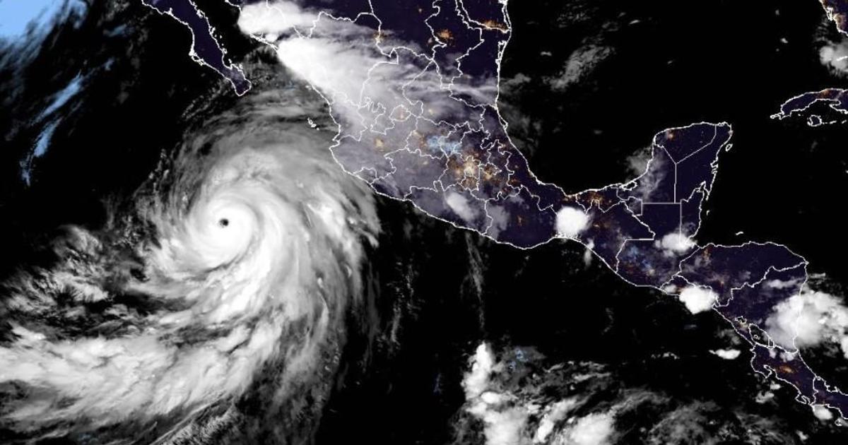
Hurricane Hilary is expected to hit Southern California as a tropical storm, bringing heavy rainfall as early as this weekend after it makes its way up Mexico’s Baja California peninsula.
Forecasters said the storm is expected to produce 3 to 6 inches of rainfall, with maximum amounts of 10 inches, across portions of Baja California through Sunday night, with the possibility of flash flooding.
There will likely be “damaging wind gusts,” especially at higher elevations, in the area, and swells along the coast, Greg Postel, a hurricane and storm specialist at the Weather Channel, told CBS News.
National Hurricane Center / NOAA
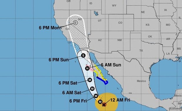
Where is Hurricane Hilary’s projected path?
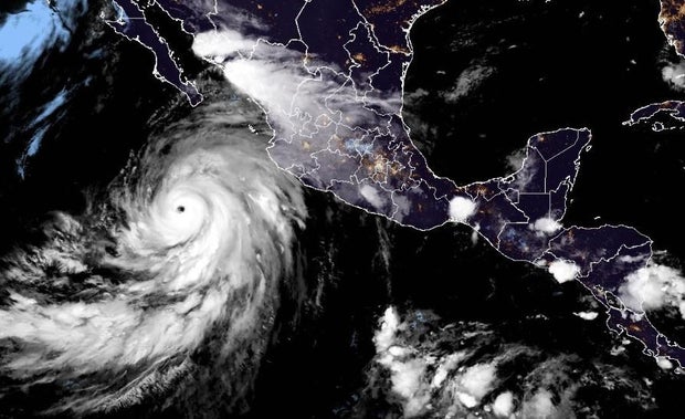
As of early Friday, Hurricane Hilary was located about 400 miles south of Cabo San Lucas, Mexico, with maximum sustained winds of 145 mph, making it a “major” Category 4, the NHC said, adding that it is “large and powerful.”
The storm was moving west-northwest at 13 mph, with a turn toward the northwest expected Friday morning, followed by a turn toward the north-northwest and north on Saturday, according to the center.
National Hurricane Center
When will Hurricane Hilary hit the coast of California?
The center of the storm will approach Mexico’s Baja California Peninsula over the weekend, NHC said, and weaken to a tropical storm before hitting California. It is set to impact the southwestern U.S. with heavy rainfall starting Friday through early next week, “peaking on Sunday and Monday,” according to the National Hurricane Center.
“It is rare — indeed nearly unprecedented in the modern record — to have a tropical system like this move through Southern California,” Postel told CBS News.
The last time Southern California was hit by a tropical storm was in 1939, before storms were given names, CBS News senior weather and climate producer David Parkinson said. Several storms that had been hurricanes or tropical storms have impacted the state since then, but they had weakened to sub-tropical systems by that time, Parkinson noted.
The projected path of the storm showed it could make landfall anywhere from the Baja California Peninsula to as far north as Santa Barbara, California. One model showed the heaviest rain hitting the Palm Springs area after the storm makes landfall.
“But if this storm track moves just 40 miles to the west … now you take all of this heavy rain … and you shift it now into portions of Orange County. You shift it into portions of the [Inland Empire] that are very well populated,” Parkinson said.
Either situation would be cause for concern, Parkinson noted. The desert terrain around Palm Springs would not be able to handle the amount of rain expected and, if the track shifts west, the areas scorched by recent wildfires would also be inundated.
Hilary is likely to produce landslides and mudslides in certain areas recently burned by wildfires and storm surges along parts of the southern Baja Peninsula and the Gulf of California coast, the Weather Channel reports.
“You’re looking at a winter-like storm now in the summer in places that are not used to this amount of rain,” Parkinson said.


